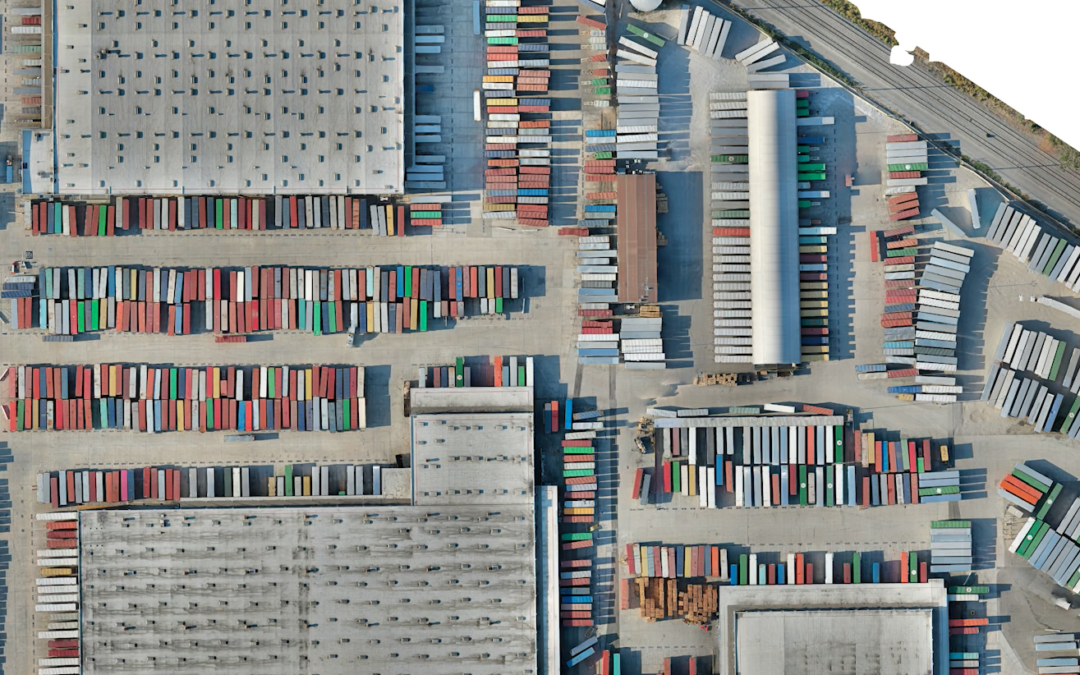
Drone Mapping Drone mapping (also called aerial surveying) is the process of taking pictures from the air and using software to digitally “stitch” them together into a 2D and 3D map of a worksite.
Create Great Social Media Materials The marketing world is constantly changing—especially on the digital front. The need to create high-quality video content has become more and more relevant, especially on platforms like Instagram, YouTube, and TikTok. If you’re...
Create Stock Footage for Your Marketing and Video Production Stock footage is a great way to expand your video library and use drone video multiple times. This can help you save time and money in the long run. Stock footage is video that is taken and shot at one time....
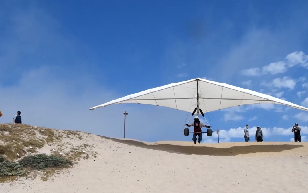
Capture the Big Stuff, and the B-roll B-roll is the footage that’s played in the background during a video. This may include shots of the subject, close-ups, and different angles. B-roll is important because it helps your audience stay engaged in the video. It keeps...
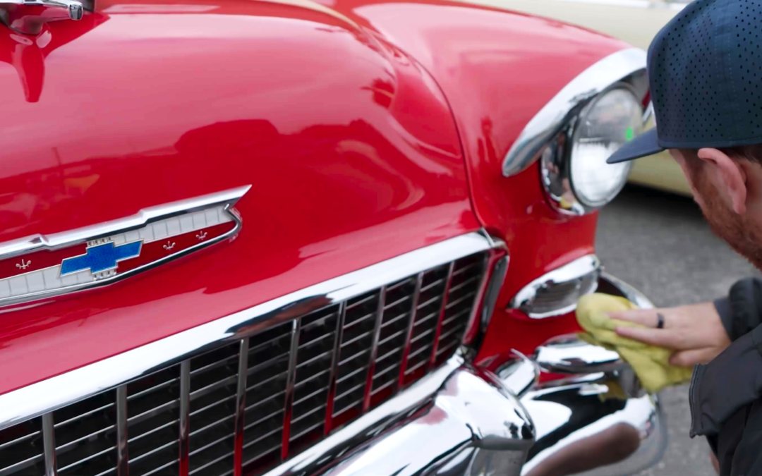
Document Your Business with Drone Video Businesses can use drone video to document their location and show off what goes on inside their business. This can be helpful when showcasing any special events or seasonal activities that happen during business hours. Drones...