Drone Mapping
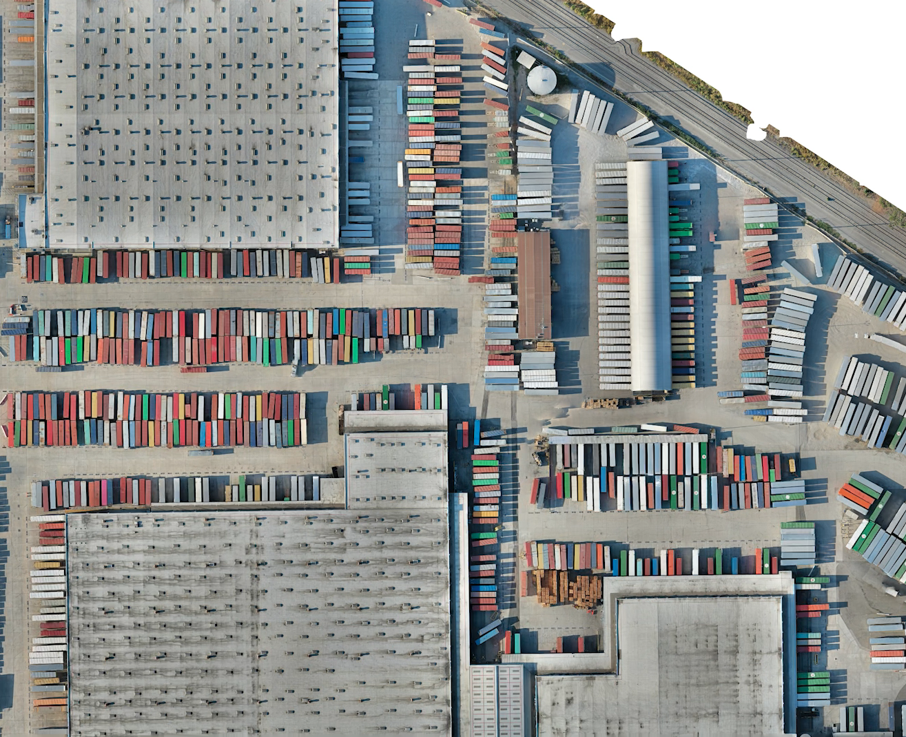
Drone mapping (also called aerial surveying) is the process of taking pictures from the air and using software to digitally “stitch” them together into a 2D and 3D map of a worksite.

Drone mapping (also called aerial surveying) is the process of taking pictures from the air and using software to digitally “stitch” them together into a 2D and 3D map of a worksite.