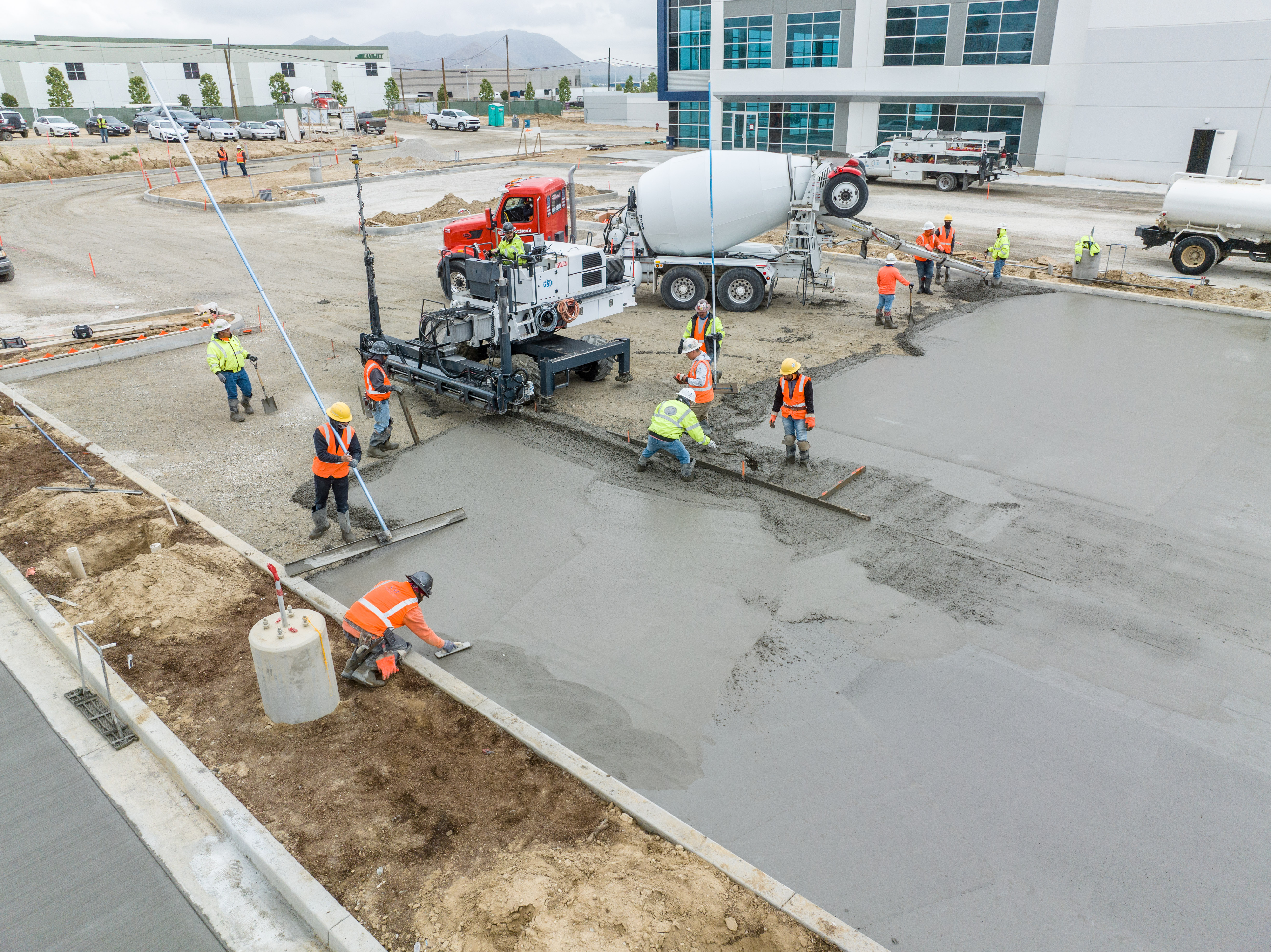
Show Everyone What’s Going on Without Being There
Construction site drone photography reduces risk factors, increases profitability, saves time, and collects a large amount of data that traditionally is time-consuming to collect and often incomplete. Photos, videos, 3D models, and orthomosaic maps created with drone data can be used to provide stakeholders with detailed, real-time reports on how things are progressing on-site.

