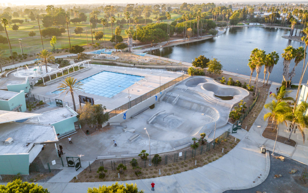
Showcase a Property’s Surroundings One major advantage of drones for real estate is better visual accuracy. Drones can deliver a bird’s-eye view of a property, allowing potential homebuyers to see a development in the context of its surroundings. Homebuyers get a...
Cover Every Inch of Your Property Both Inside and Out Drones with high-resolution 4K cameras can deliver expansive, cinematic images and videos of a property’s interior and exterior areas from multiple angles. Aerial drone photography can truly capture and sell the...
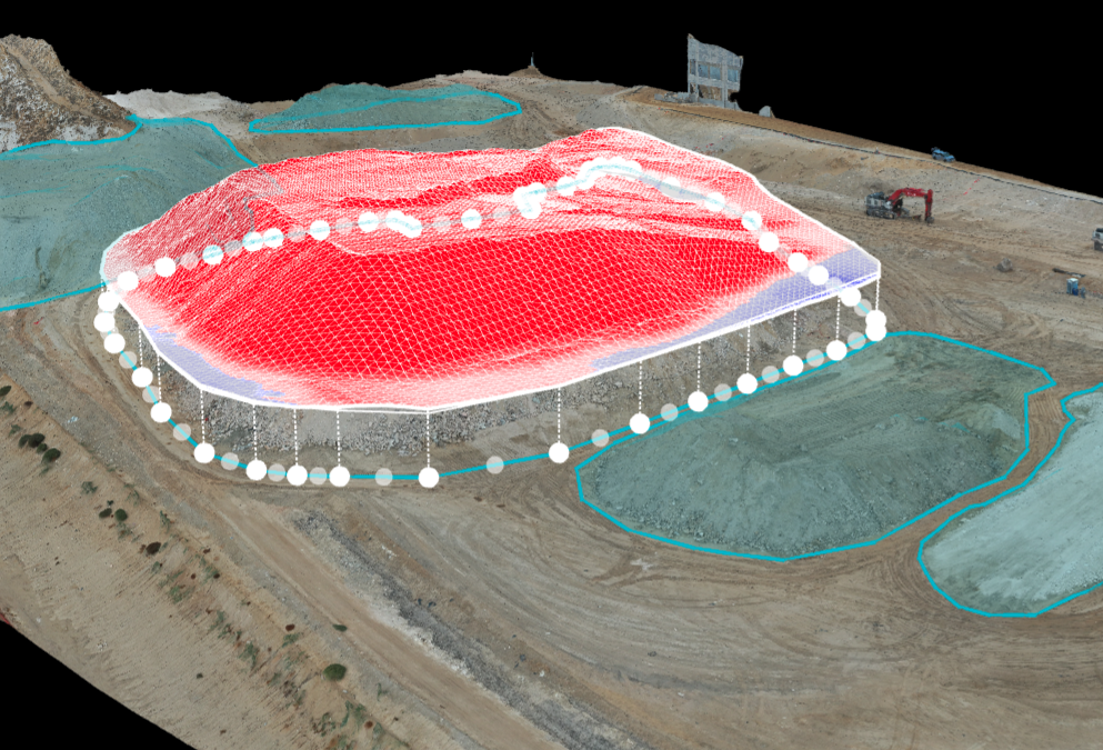
Earthworks & Stockpile Analysis Drones are a popular and conventional method of stockpile measurements in the industry. Our pilots can conduct stockpile analysis with our surveying drones and capture topographic data points that traditional methods cannot detect...
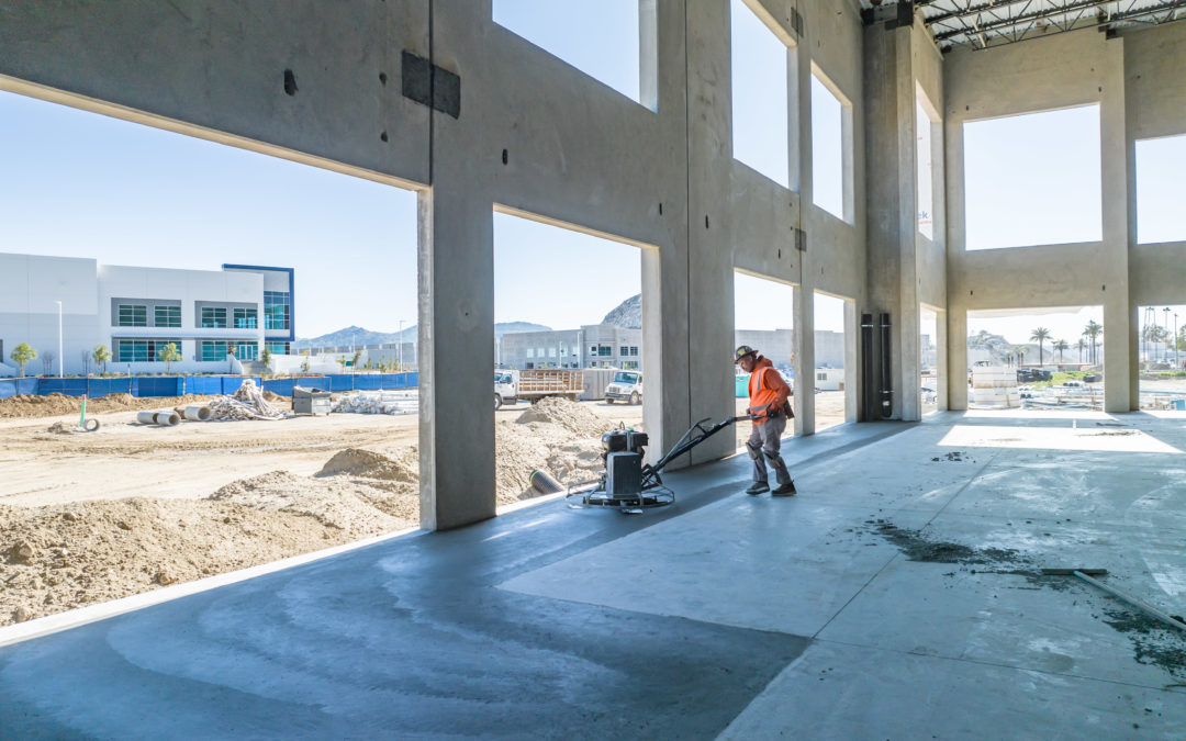
Improve Project Visibility with Enhanced Progress Reporting Photos, videos, 3D models, and orthomosaic maps created with drone data can be used to provide clients with detailed, real-time reports on how things are progressing on-site. On larger construction projects,...
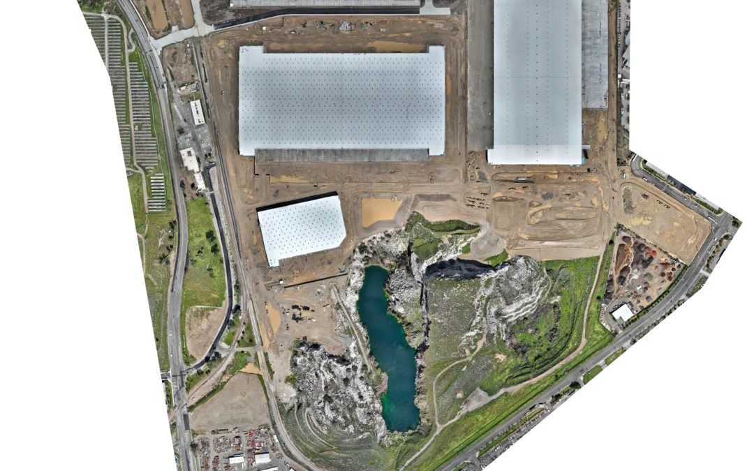
Create Orthomosaic Maps to See Your Whole Site in One Photo Drones provide data for 3D creations and 2D orthomosaic maps of the construction site. Drone Deploy allows data, including contours and terrain, to be systematically captured, updated, and collected as online...
From Mapping to Stockpile Analysis, Drones Give You the Data You Need to Keep Stakeholders up to Date Visual data collected by a drone can help construction companies get a solid understanding of the entire site before they begin construction. This pre-planning data...