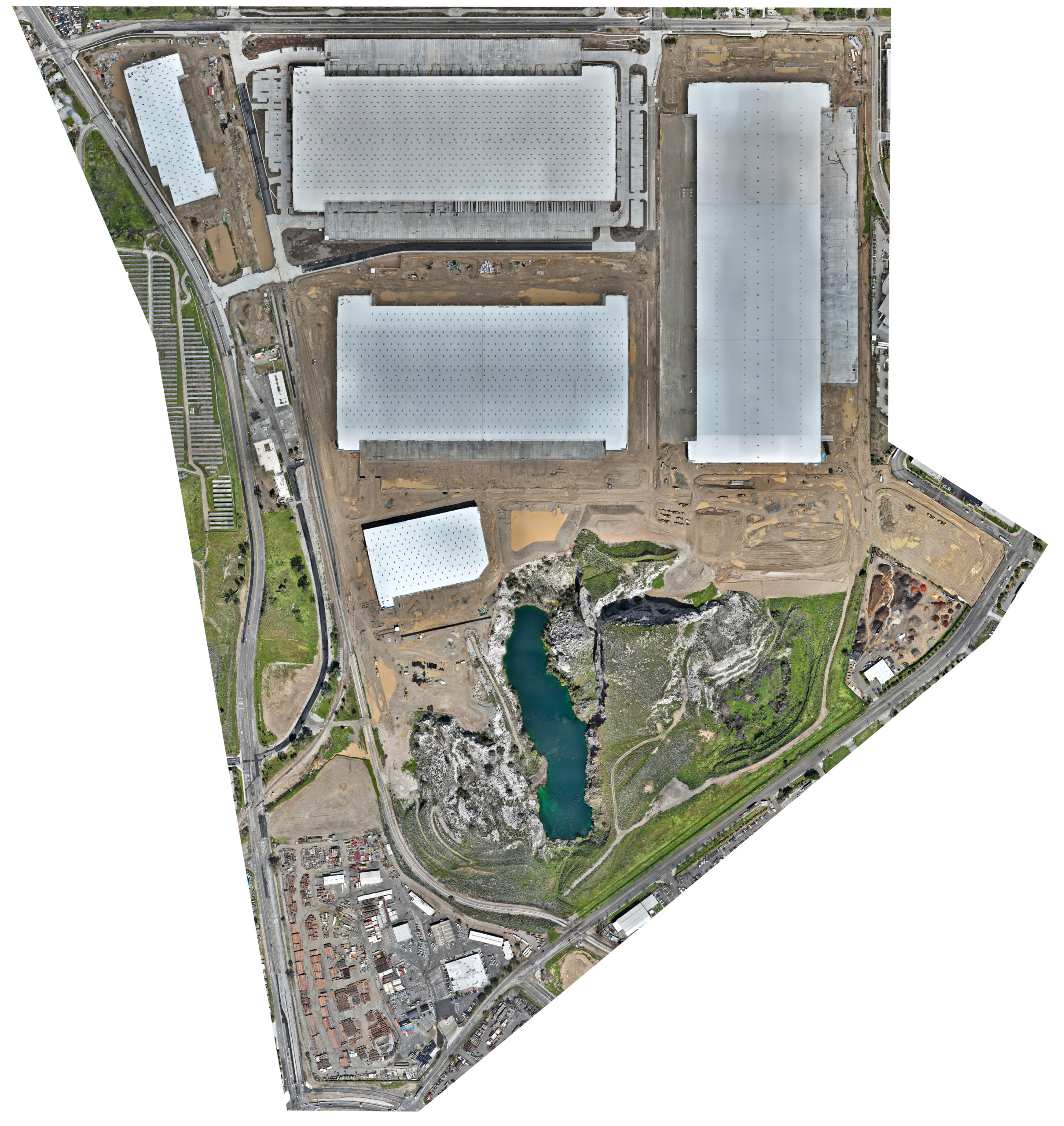
Create Orthomosaic Maps to See Your Whole Site in One Photo
Drones provide data for 3D creations and 2D orthomosaic maps of the construction site. Drone Deploy allows data, including contours and terrain, to be systematically captured, updated, and collected as online maps for convenient inspection of the construction site.

