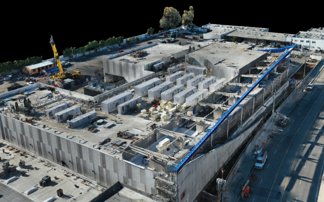
Keep on Schedule by Identifying Problems Early 3D models created with drone data can be used to provide you with detailed, real-time reports on how things are progressing on-site. On larger construction projects, there are often multiple stakeholders in multiple...
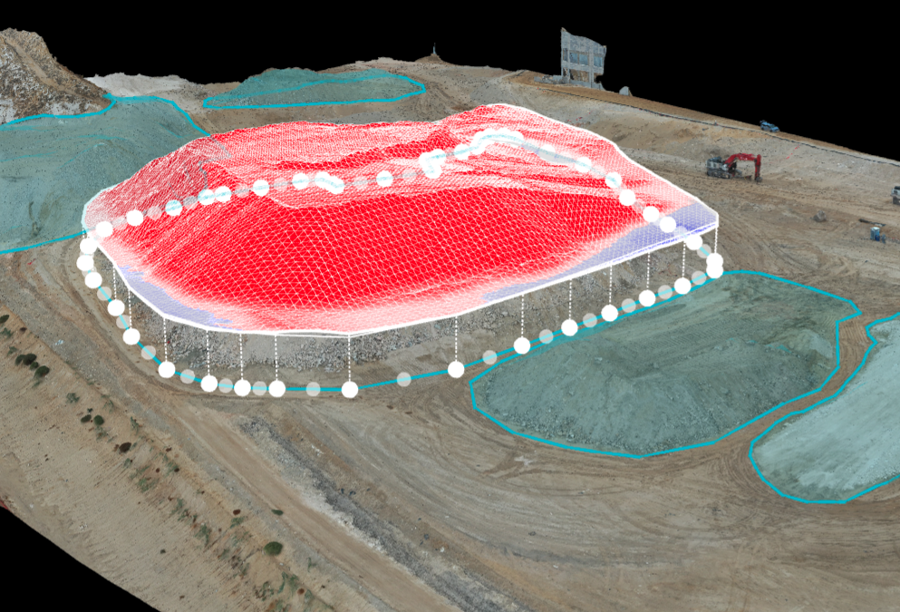
Find Out if You Need to Import or Export That Stockpile Drones are a popular and conventional method of stockpile measurements in the industry. Our pilots can conduct stockpile analysis with our surveying drones and capture topographic data points that traditional...
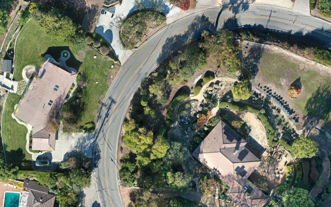
Every Model Represents Millions of Points of GPS Data Don’t wait around for the survey company to get around to your project. Drone maps can provide a high degree of accuracy. One drone flight produces thousands of measurements, which can be represented in different...
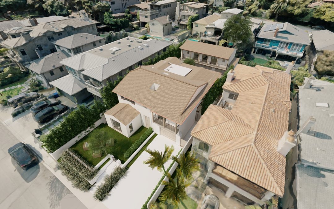
Give Your Clients a More Realistic View The data we capture with a drone can be used to build detailed 3D environments. A detailed model allows you to take your 3D model of the project and place it into a real environment. Look out any window and see what’s really...
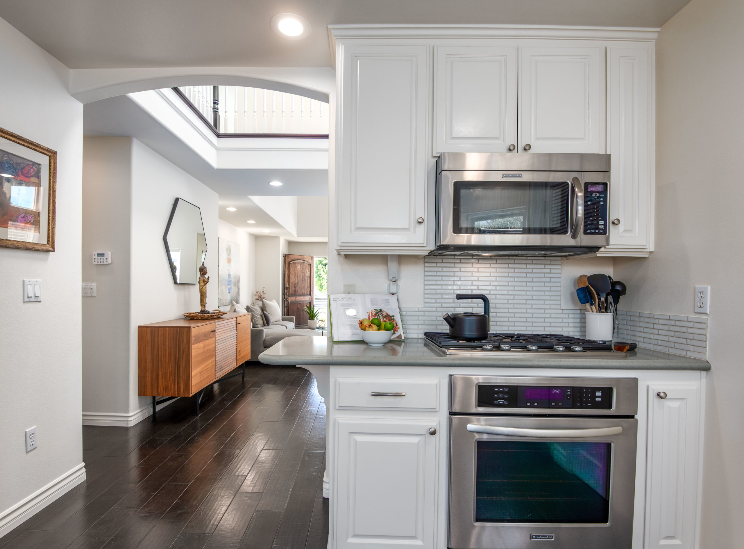
Grab More Attention With 96% of homebuyers making their purchasing decisions online, your listing needs to ramp up and grab their attention right away. Generate more clicks that turn into showings and solid offers with dramatic aerial photography. Your aerial images...
Boost Real Estate Marketing and Sales In this digital age, high-quality real estate visuals are key to attracting potential homebuyers online. Standard, cookie-cutter property photos are not enough to capture the attention or imagination of today’s tech-savvy...