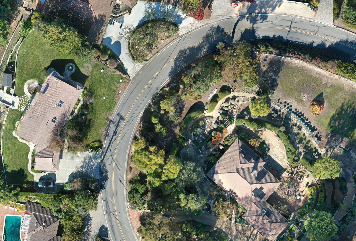
Every Model Represents Millions of Points of GPS Data
Don’t wait around for the survey company to get around to your project. Drone maps can provide a high degree of accuracy. One drone flight produces thousands of measurements, which can be represented in different formats (orthomosaic, point cloud, DTM, DSM, contour lines, etc). Each pixel of the produced map or point of the 3D model contains 3D geo-data. These images also provide the foundation for detailed models of site topography for pre-construction engineering studies. The generated data can also be transferred to any CAD or BIM software so that you can immediately start working from a 3D model.

