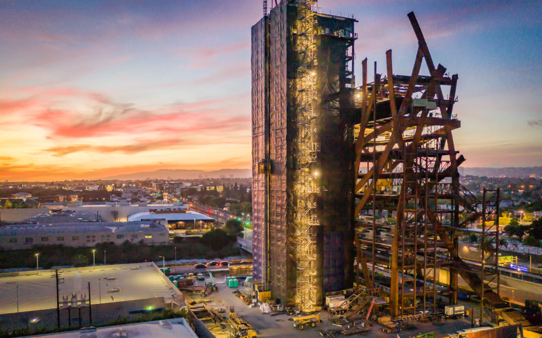
Capture the Final Build with Stunning Architectural Photos You are proud of the finished house that you designed. Why not show it off to the world or your next potential client? Drone photos and video can capture it as no other way can. We can go higher and show the...
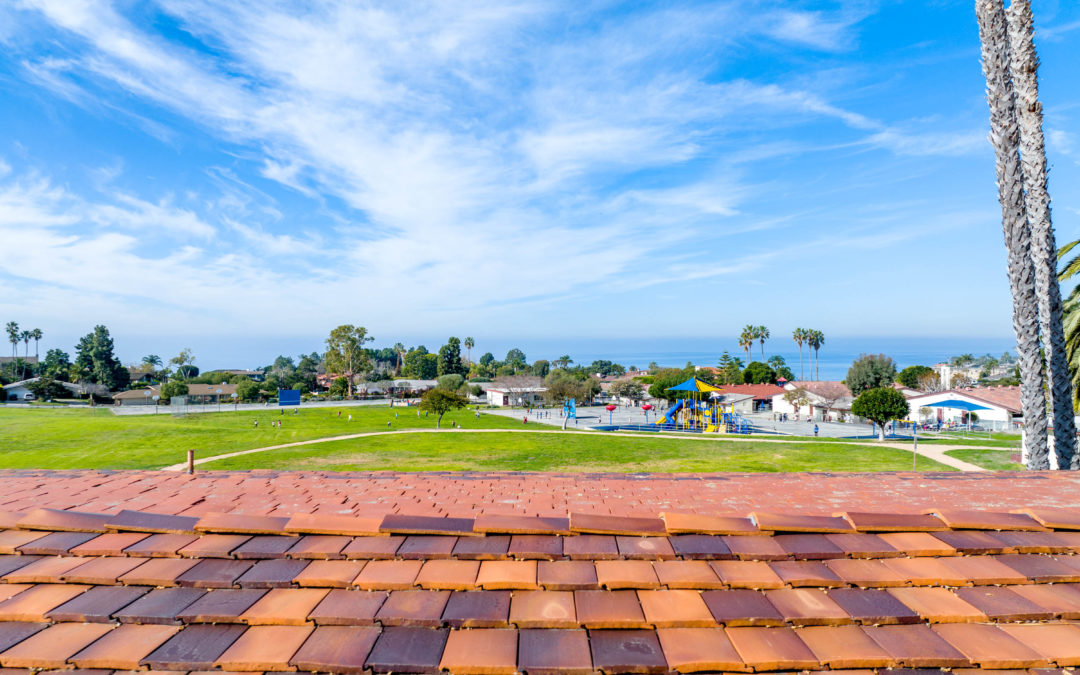
Show Potential Views While Still in the Design Phase Beachfront property is expensive. Clients want to know what they’ll see once construction is finished. You can show them right now, while you’re designing, what they’ll see standing on the roof deck or Primary...
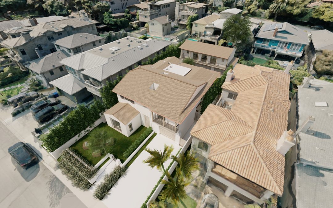
More Realistic Environments The data we capture with a drone can be used to build detailed 3D environments. A detailed model allows you to take your 3D model of the project and place it into a real environment. Look out any window and see what’s really there. Imagine...
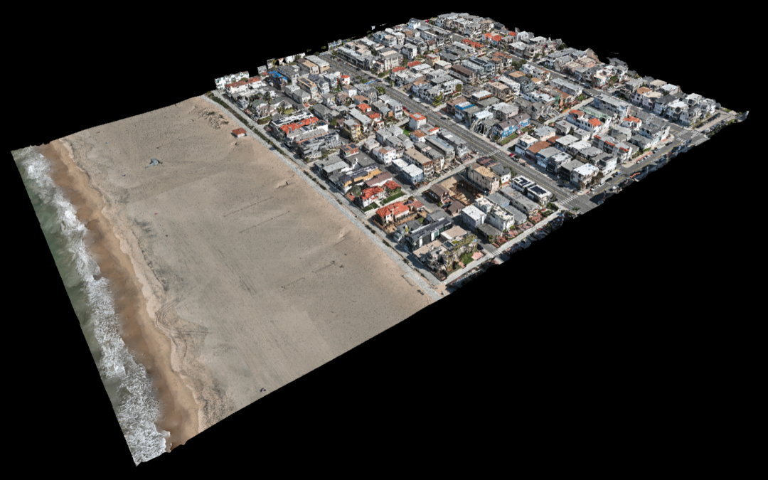
Getting a Head Start on Designing Don’t wait around for the survey company to get around to your project. Drone maps can provide a high degree of accuracy. One drone flight produces thousands of measurements, which can be represented in different formats (orthomosaic,...
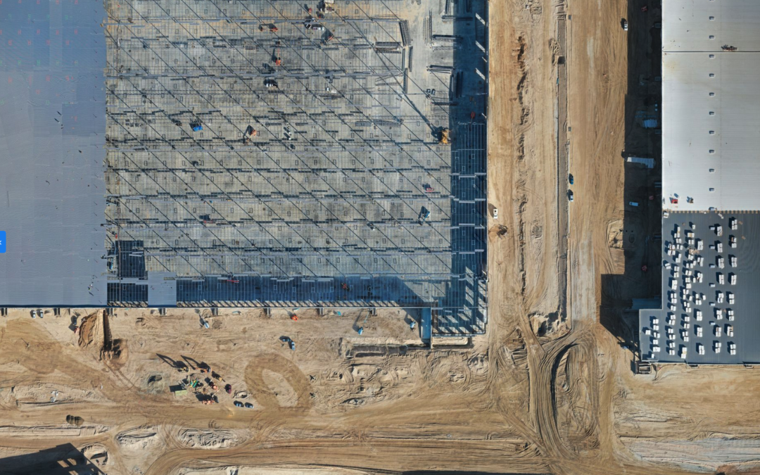
Drone Mapping Drones provide data for 3D creations and 2D orthomosaic maps of the construction site. Drone Deploy allows data, including contours and terrain, to be systematically captured, updated, and collected as online maps for convenient inspection of the...