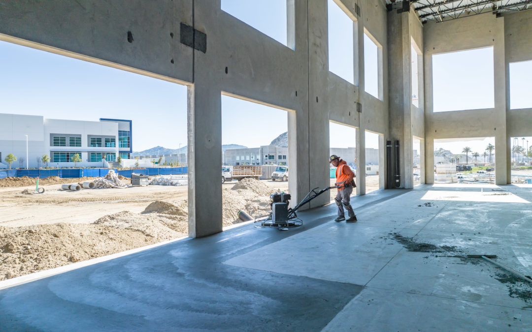
From Mapping to Stockpile Analysis, Drones Give You the Data You Need to Keep Stakeholders up to Date Visual data collected by a drone can help construction companies get a solid understanding of the entire site before they begin construction. This pre-planning data...
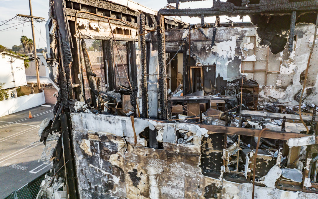
Document Every Detail of a Claim Site in One Photo More often than not, the specifics of an accident or crime scene are best documented with orthomosaic mapping. While cameras can capture evidence, drones have made capturing the entire scene practical and economically...
Drones Improve Accuracy of Crime Scene Investigation Handwritten notes on the details of an accident scene are important but pale in comparison to the accuracy of drone-based photogrammetry. The optics used in drone cameras produce highly detailed renderings and 3D...
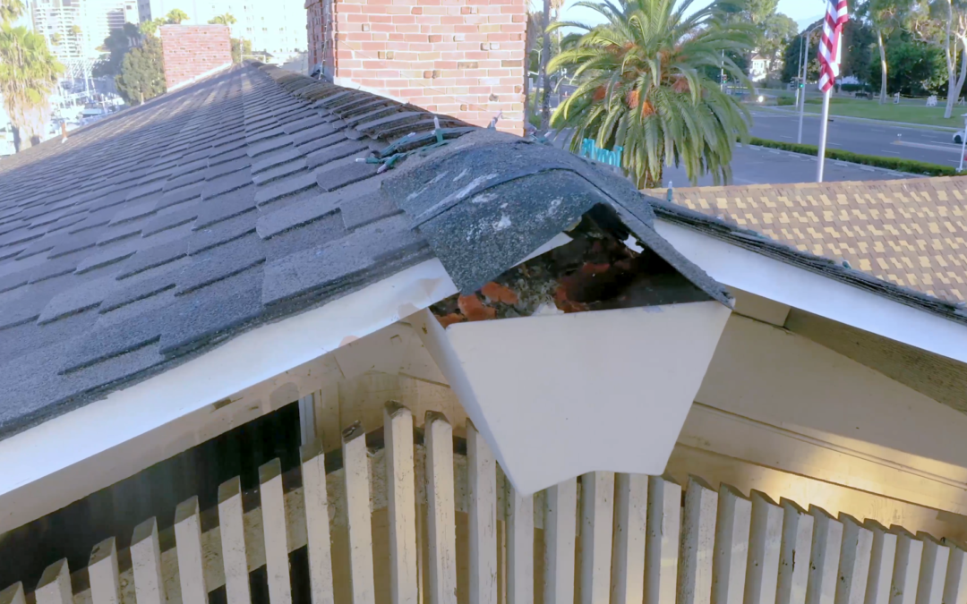
Leave the Ladder in the Garage It is usually difficult, time-consuming, and risky to carry out roof inspections using conventional manual methods. Not with a drone. The drone-based inspection, on the other hand, eliminates the need for a physical human to be on the...
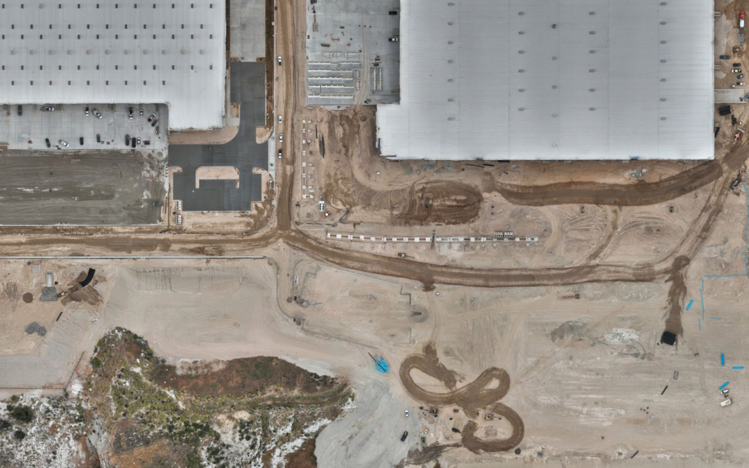
Utilize Orthomosaic Mapping to Stay in Touch With Your Site Drones provide data for 3D creations and 2D orthomosaic maps of the construction site. Drone Deploy allows data, including contours and terrain, to be systematically captured, updated, and collected as online...