Orthomosaic Mapping Pricing
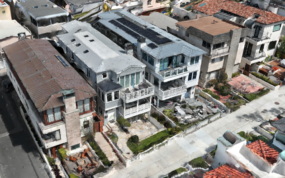
Drones provide data for 3D creations and 2D orthomosaic maps of any location. Our software allows data, including contours and terrain, to be systematically captured, updated, and collected as online maps for convenient inspection of the site.
$500/Hr
The time for onsite mapping depends on your requirements. The higher I fly, the less time it takes to cover an area. But the higher I fly, the less resolution there is. Flights will be flown between 160 and 400 feet. Typically a 6-acre map at the highest resolution takes about 45 minutes to fly. Conversely, a 300-acre map can be flown at 400 feet in the same time.