3D Modeling Pricing
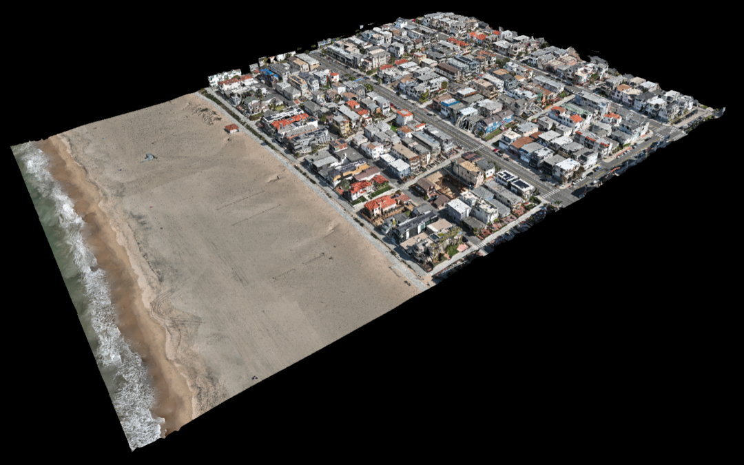
Photogrammetry software can create geo-referenced orthomosaics, elevation models, or 3D models of the project area. These maps can also be used to extract information such as highly-accurate distances or volumetric measurements.
$500/Hr
Flights will be flown at the lowest elevation possible to provide the highest detail models. Typically a 5-acre model takes about 60 minutes to fly.