southbaydroneservices.com logo
310-993-4981

Main menu

  • Home
  • About
  • Work
  • Testimonials
  • Contact
Aerial PhotoAerial VideoArchitectureConstructionDrone MappingFilmingInspectionsReal Estate

Drone Mapping

Are you looking to get an orthomosaic or orthographic map of your construction site and you need to hire a drone services provider? Then you've found the right place. We use Drone Deploy all the time and we'll work with you to get the aerial photos and video you need to tell it.

  • We create an interactive site view including maps, photos, panoramas, and videos
  • Create a 360 virtual tour of your site to assist in planning and coordination
  • Expedite pre-construction site planning and design from bid to earthworks with accurate maps and models
  • Create, document, and share a visual timeline with all stakeholders to keep teams on track
  • Track and communicate progress at any stage with a Progress Report
  • Verify work with automated cut/fill analysis and side-by-side comparisons
  • Create a visual record timeline to resolve any potential disputes later
  • Automatically share Drone Deploy maps in your project management solutions, like Procore or Autodesk BIM 360
  • Document your entire job site using aerial & ground imagery
  • And build a library of photos and video to use in marketing materials to acquire new jobs

All our pilots are FAA Certified and fully insured so that you don't have to worry about anything. In fact, we'll not only take the video and photos, but we'll professionally edit them together so that you can share them with the world. Just fill out the form below and we'll get back to you in less than 24 hours to talk about your project. Call us today or visit our website at https://www.southbaydroneservices.com/

Agua Mansa Stockpile Calculations
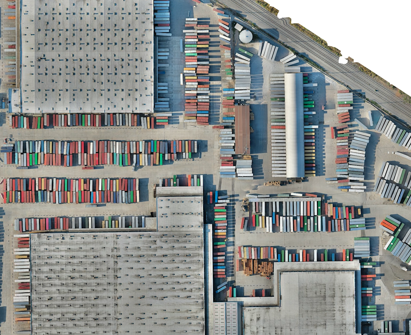
Agua Mansa Othomosaic Map
Fisher 3D model

1200 Fisher 3D Model

A 3D model of a residential area for the archiect

Anderson 3D Model

01-26-21 Anderson 3D Model

Duncan 3D Model

10-15-21 Duncan 3D Model

Oxnard Street October 2021

10-26-21 Oxnard Ortho Map

Oxnard Street Nov 2021

11-23-21 Oxnard Ortho Map

Oxnard Street January 2022

1-4-22 Oxnard Ortho Map

  •  
  • 1 of 2
  • next ›

Fill Out This Form To Get Your Free Drone Job Quote:

-- Not required. Provide if you'd like a call back. --

Please include items such as:
- Type of job (construction site monitoring, residential property listing photography, etc);
- Approximate location of job; and
- Anything else that you think I need to know

CAPTCHA
This question is for testing whether or not you are a human visitor and to prevent automated spam submissions.

Search form

FAA Licensed Drone Pilot

Any commercial drone pilot HAS to have an FAA license to fly anywhere in the United States. The FAA has stated that if you knowingly hire unlicensed pilots, you can face fines starting at $11,000. But don't worry. All our pilots are FAA licensed and know how to follow the rules and provide what you need safely.

Happy Clients

“Brian's work is a game changer for my real estate business. Friendly, easy to work with, especially around a busy schedule. The video editing was pristine. Fast too. A huge fan of Closing Time Photography. He waited for an hour for the twilight to be perfect to capture this shot.”

—Matt Stayner REC

  • Email Us
  • Call Us
  • Terms of Use
  • Privacy Policy
  • Login
  • Copyright © 2020 SouthBay Drone Services. All Rights Reserved.

Westchester | Playa Del Rey | Playa Vista | El Segundo | Manhattan Beach | Redondo Beach | Hermosa Beach | Weisburn | Mar Vista | Real Estate Photography | Real Estate Listing Photography | Drone Photography | Drone Video

Design by crispelements | Development by As If Productions