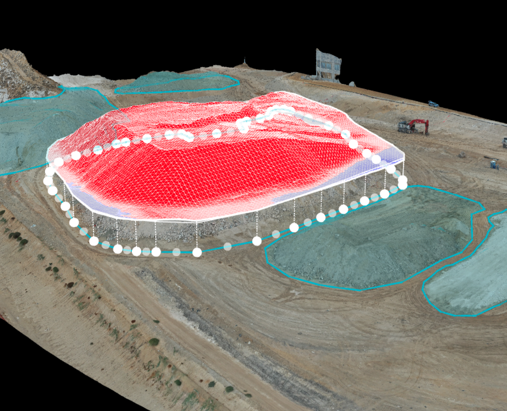
From Mapping to Stockpile Analysis, Drones Give You the Data You Need to Keep Stakeholders up to Date
Construction site drone photography reduces risk factors, increases profitability, saves time, and collects a large amount of data that traditionally is time-consuming to collect and often incomplete. Photos, videos, 3D models, and orthomosaic maps created with drone data can be used to provide stakeholders with detailed, real-time reports on how things are progressing on-site.

