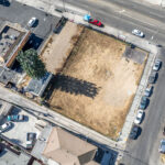
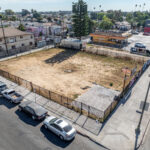
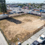
We recently had the chance to work with a major commercial construction company to document an urban empty lot they plan to build on.
Before any digging or planning, we captured the current conditions of the site with our drones — aerial photos, video, and detailed mapping that gives them a solid baseline from which to work. It’s all about ensuring they have the info they need to plan the project correctly and avoid surprises down the road.
We’ve got you covered if you’re working on a similar project and want to document your site precisely. Let’s chat!


