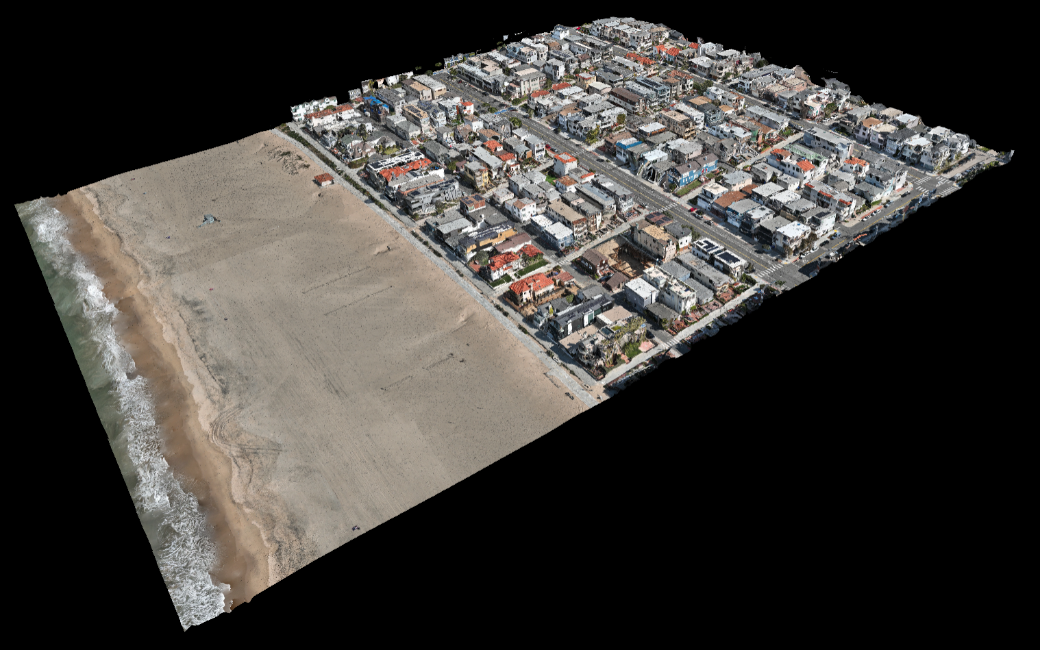
3D model created by hundreds of drone photos that are stitched together into a 3D model. The architect uses this to get elevation data and to place their 3D model into a real environment.

All images copyright (c) Southbay Drone Services

3D model created by hundreds of drone photos that are stitched together into a 3D model. The architect uses this to get elevation data and to place their 3D model into a real environment.