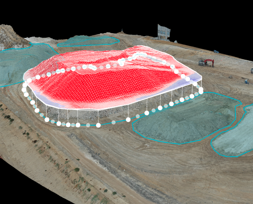
Drones Revolutionize Stockpile Calculations
By swiftly capturing high-resolution aerial imagery, drones streamline the stockpile assessment process, covering vast areas in record time compared to traditional manual methods. Equipped with advanced sensors and imaging technology, they provide precise data, enabling accurate calculations of stockpile size, shape, and volume. This accuracy minimizes errors and enhances inventory management.

