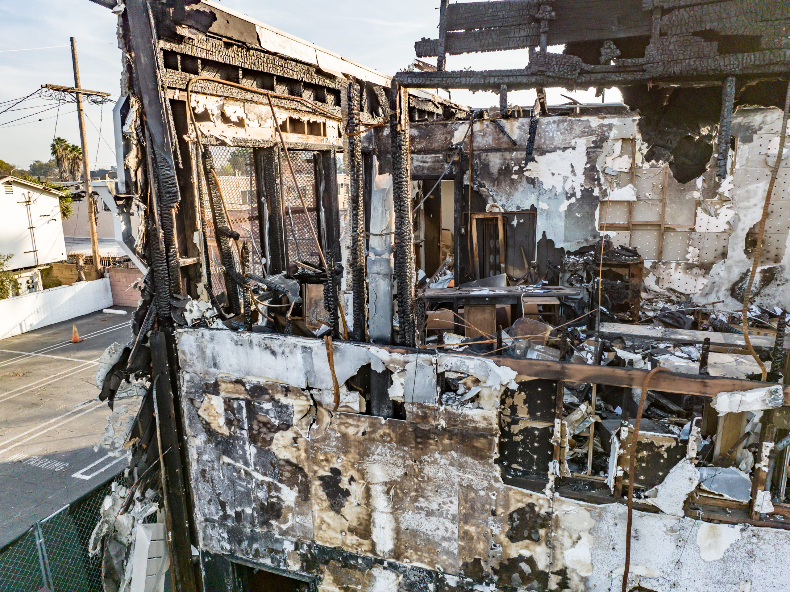
Crime scene investigation is a critical aspect of law enforcement, requiring meticulous documentation and analysis to ensure accurate findings and successful prosecutions. Traditionally, investigators relied on manual measurements, photographs, and sketches to document crime scenes. However, with the advent of drone technology, the process has been revolutionized, offering a new level of precision and flexibility. In this article, we delve into the use of drones to create orthomosaic maps, allowing investigators to go back to the scene again, again, and again, with unrivaled accuracy and efficiency.
Capturing the Scene in Unprecedented Detail:
Drones equipped with high-resolution cameras provide investigators with the ability to capture crime scenes from various angles and altitudes, ensuring no detail is overlooked. By flying the drone over the scene and capturing a series of overlapping images, a vast amount of visual data is collected. These images are then processed using specialized software to create a single, seamless orthomosaic map. This map provides an accurate representation of the crime scene, combining multiple images into a single, highly detailed composite image.
Accurate Measurements and Scale:
One of the key advantages of using drone-generated orthomosaic maps is the ability to obtain precise measurements and scale. By integrating GPS technology and sophisticated photogrammetry algorithms, the maps accurately depict the dimensions and distances within the crime scene. Investigators can measure distances, angles, and even determine the heights of objects, providing critical data for analysis and reconstruction. This level of accuracy helps investigators recreate the scene with confidence and ensure the validity of their findings.
Comprehensive Documentation and Analysis:
Orthomosaic maps offer investigators the ability to revisit the crime scene virtually, allowing them to examine every detail repeatedly. Unlike traditional documentation methods, which may miss crucial elements or angles, drone-generated maps provide a comprehensive overview of the entire scene. Investigators can zoom in on specific areas of interest, examine minute details, and uncover evidence that may have been initially overlooked. This repeated analysis ensures that no stone is left unturned, leading to more accurate conclusions and a higher chance of solving the crime.
Collaboration and Courtroom Presentation:
Drones and orthomosaic maps facilitate seamless collaboration between investigators, forensic experts, and legal professionals. The detailed maps can be easily shared electronically, allowing stakeholders to remotely explore and annotate the crime scene. This collaborative approach enhances communication and fosters a better understanding of the evidence among the entire investigative team. Furthermore, during courtroom proceedings, the interactive nature of orthomosaic maps enables investigators to present the evidence to judges and juries in a visually compelling manner. Jurors can virtually “step into” the crime scene, examining critical elements from different perspectives, leading to a more engaged and informed decision-making process.
Time and Cost Efficiency:
Using drones to create orthomosaic maps significantly reduces the time and resources required for crime scene documentation. Traditional methods often involve extensive manual measurements, multiple site visits, and painstaking sketching. In contrast, drones can swiftly capture a comprehensive dataset in a single flight, saving valuable time and minimizing disruption to the crime scene. Additionally, the detailed orthomosaic maps streamline the investigation process, allowing investigators to focus on analysis and evidence interpretation rather than spending excessive time on scene documentation.
Conclusion:
Drones and orthomosaic mapping have revolutionized crime scene documentation, providing investigators with an unprecedented level of accuracy, efficiency, and flexibility. The ability to go back to the scene again, again, and again enables thorough analysis, precise measurements, and comprehensive documentation, enhancing the chances of solving crimes and achieving successful prosecutions. As technology continues to advance, the integration of drones into crime scene investigation will undoubtedly become an integral tool for law enforcement agencies worldwide.

