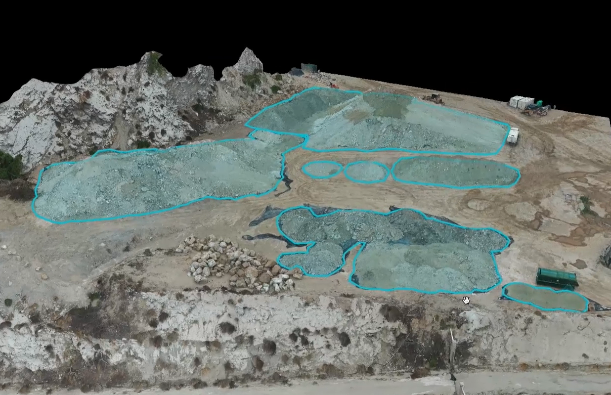
Drones Outpace Surveyors: Accelerating Stockpile Calculations with Unmatched Speed
Drones have revolutionized the speed of stockpile calculations, outpacing traditional surveyors with their unmatched efficiency. While surveyors would typically spend hours manually measuring stockpiles, drones can rapidly capture high-resolution aerial imagery of construction sites, covering large areas in a fraction of the time. Equipped with advanced sensors and imaging technology, drones generate precise data for accurate calculations of stockpile size, shape, and volume.

