Show Everyone What’s Going on Without Being There
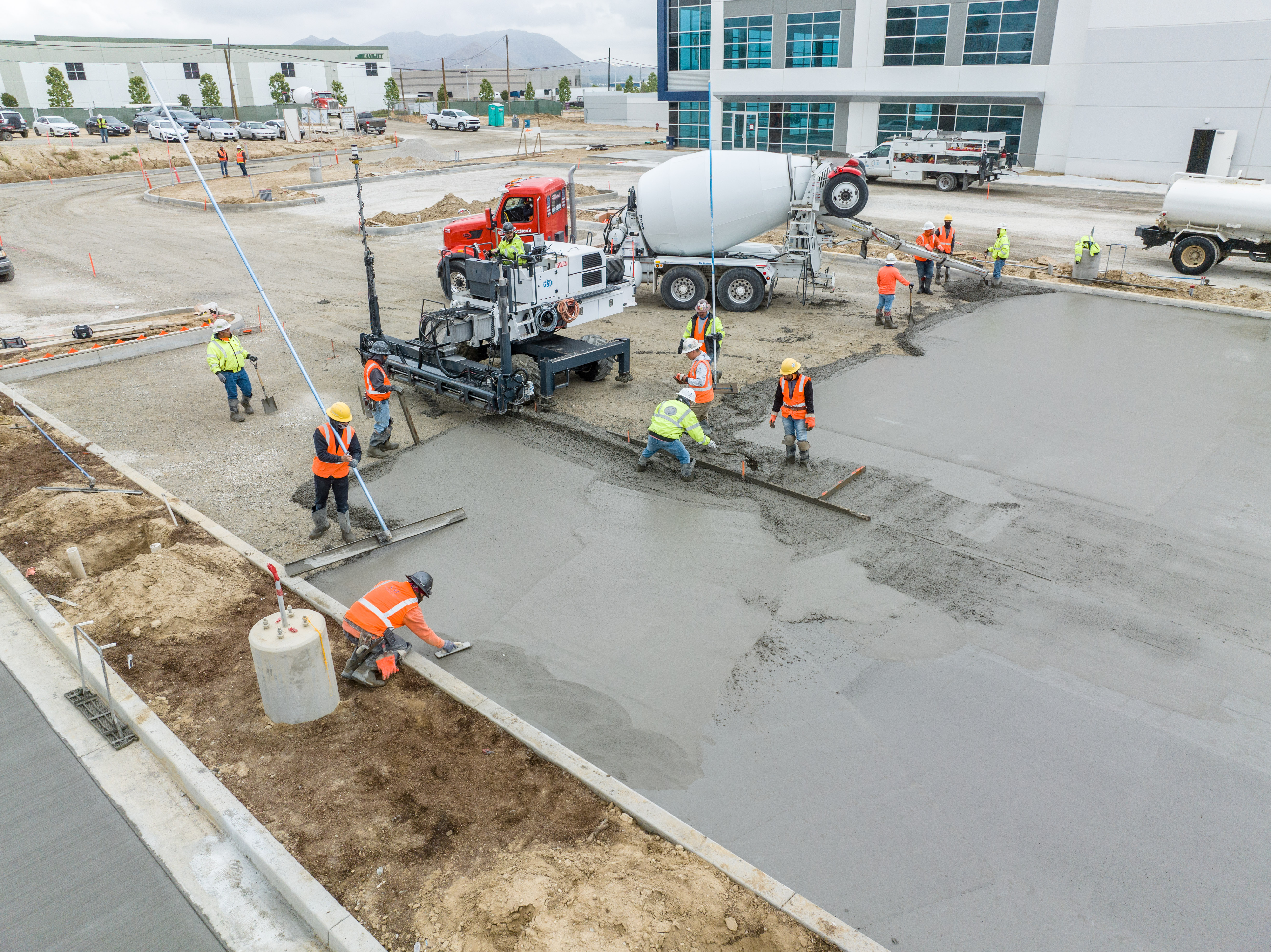
Videos, 3D models, and orthomosaic maps created with drone data can be used to provide clients with detailed, real-time reports on how things are progressing on-site. On larger construction projects, there are often multiple stakeholders in multiple locations who are all eager to know how things are progressing.
Without a drone collecting visual data, clients would have to walk a site in person to see how things are moving along, or hire a helicopter at a prohibitively high cost to collect aerial video. And even if they did take this step, the video collected could be outdated after the next workday.
Videos of their site can then be shared with stakeholders, helping everyone involved in a construction project to see what has already been done and what work is remaining.

