Create Highly Accurate Maps of Rooftops
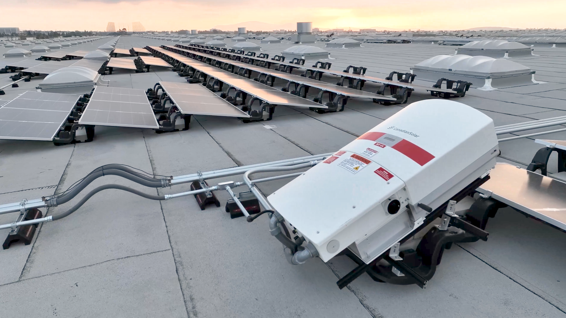
If you want to install a rooftop solar system, proper site planning is a crucial part of the project. Traditional rooftop planning involves a lot of bottleneck processes, like obtaining necessary permits, finding recent photos of the roof, and gathering measurements of parapets, offsets, and obstructions. But drones accelerate this process by performing aerial surveys that are 75% faster than manual surveys.
The drone footage is then processed by engineering and computer-aided design (CAD) software to give you precise measurements of boundaries, obstructions, offsets, and so forth, so you know exactly where and how to build the solar system.
Drone rooftop reports produce a number of files, including orthomosaics, digital surface models, point clouds, 3D Mesh Files, and AutoCAD files. Together, these deliverables give you an unprecedented amount of data to work with, which ultimately leads to a faster, safer, and more accurate rooftop site installation.
In sum, drones inspect more roof areas in less time and enable installation teams to obtain necessary permits faster. They eliminate the safety risks of manual rooftop visits by not putting workers at dangerous heights. And they prevent outdated or incorrect measurements from turning into costly mistakes.

