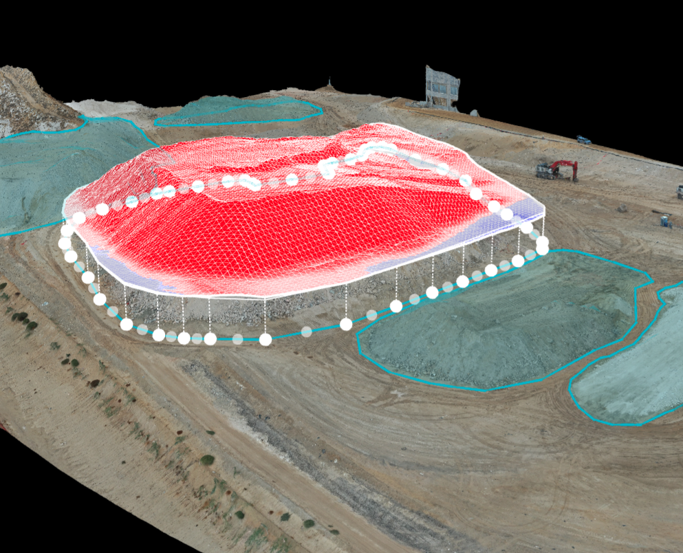
Stockpile Analysis
Drones are a popular and conventional method of stockpile measurements in the industry. Our pilots can conduct stockpile analysis with our surveying drones and capture topographic data points that traditional methods cannot detect due to their irregular shapes. Surveying can capture and depict all these variations as the shape’s actual volume, and not just its estimate. We strategically and efficiently deliver photogrammetric information through Contouring, Digital Surface Models, stockpiles such as waste, excavated dirt, rock piles, etc., and volume measurements with a nearly 99% accuracy rate.

