3D Modeling
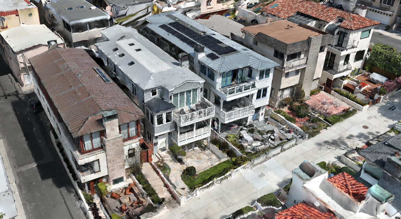
Photogrammetry software can create geo-referenced orthomosaics, elevations or 3D models. These maps can also be used to extract highly-accurate distances or volumetric measurements.

Photogrammetry software can create geo-referenced orthomosaics, elevations or 3D models. These maps can also be used to extract highly-accurate distances or volumetric measurements.